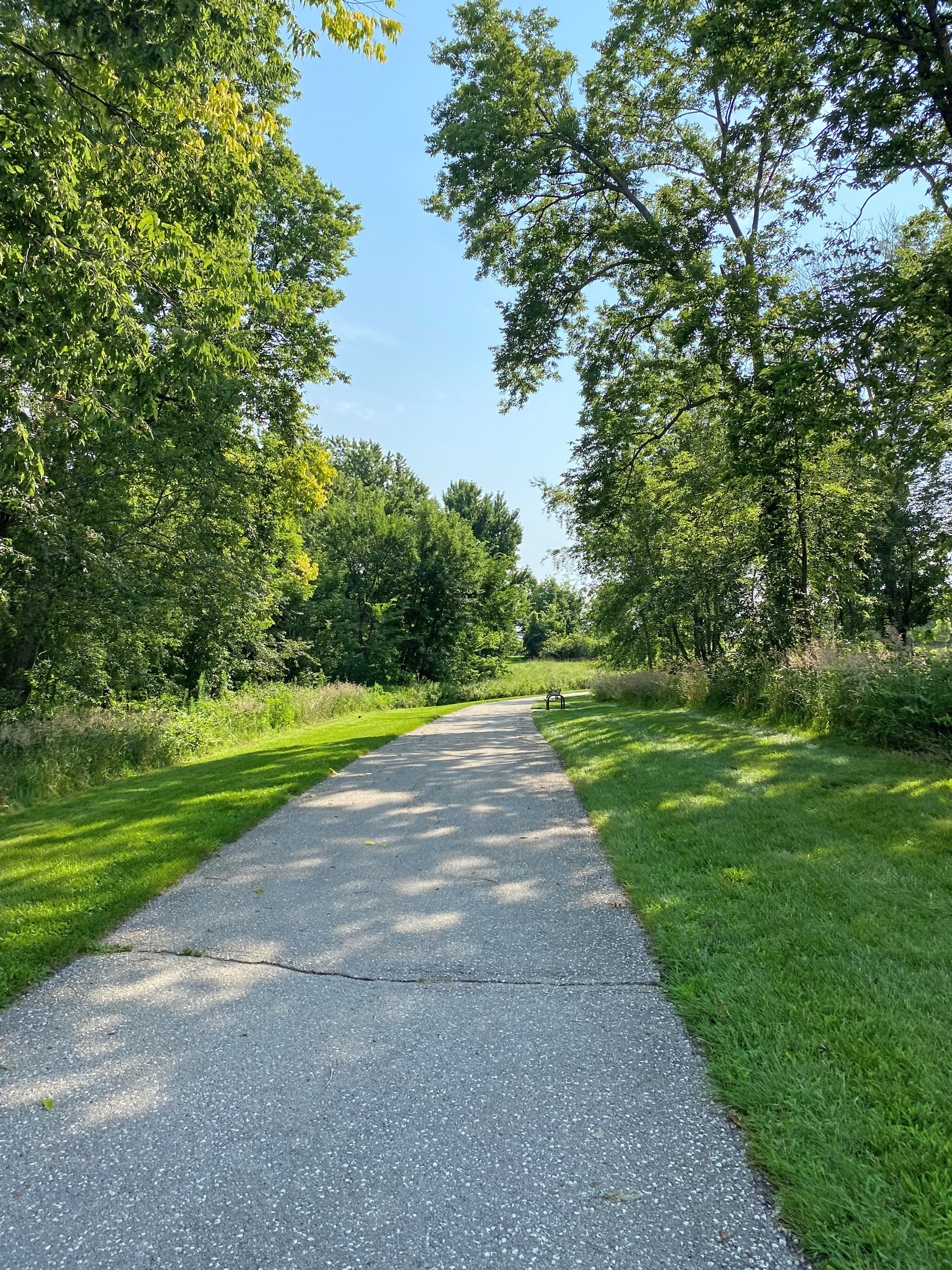
July – October 2026
Existing Conditions, Needs, and Vision
- Review trails and bike routes across all six communities
- Meet with local leaders and conduct field reviews
- Build a shared vision and identify future needs
Help Shape the Future of Regional Trails and Bikeways
Creating a shared vision for better trails, stronger connections, and healthier communities.
Take the Survey





Connecting Great Places is a regional trail and bikeway plan for the Cedar Rapids area, focusing on Ely, Fairfax, Hiawatha, Marion, Palo, and Robins.
The plan will assess existing trails and bikeways, identify opportunities for improvement, and create a shared vision for expanding and enhancing connections for residents, visitors, and communities. Building on previous bicycle and trail planning efforts in Cedar Rapids and Linn County, the study will be developed with input from residents, community leaders, and local partners.
The plan is led by the Corridor Metropolitan Planning Organization (MPO), which coordinates transportation planning and investments across the Cedar Rapids region.
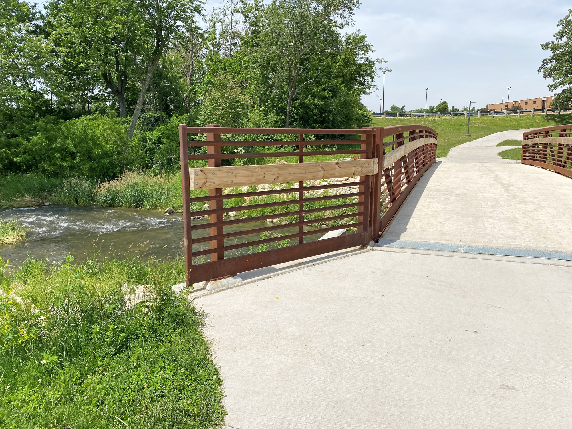
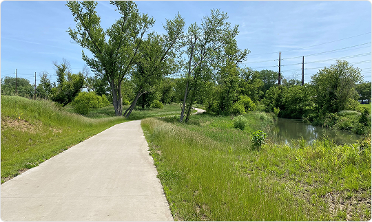
A trail, or shared use path, is a paved route separated from traffic for walking, biking, and rolling. Some trails follow roads, while others have their own alignment.
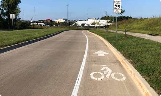
A bikeway is any route that is designed exclusively for people biking or meant to be shared with people biking. This includes trails, shared roads, and all kinds of bike lanes.
The Connecting Great Places plan will be informed by community feedback, existing plans, existing and desired trail and bikeway routes, and other information about how people use the trail and bikeway network. This includes conversations with community leaders and local partners, as well as data on how people travel and use trails.

Review of trail and bikeway plans

Resident input on trails and bikeways

Guidance from the project committee

On-site reviews of biking conditions
Previous plans identified shared community goals, including:
This plan will focus on the cities surrounding Cedar Rapids: Ely, Fairfax, Hiawatha, Marion, Palo, and Robins. Corridor MPO is working closely with these communities to understand how trails and bikeways are used and how they could be improved in the future. Coordination meetings, field review of bikeways, and community engagement activities will occur in each community during the planning process.
Completed in 2025 and updated in 2026, this separate plan outlines recommendations for trails and bikeways across Cedar Rapids and Linn County.
Public input is essential to this plan. Throughout the process, Corridor MPO will provide multiple opportunities for residents to share their ideas and feedback.

Share your experiences and priorities.

Send feedback through the project website.

Discuss needs and ideas in your community.

Meet the team locally in Spring 2027. Details soon.
Corridor MPO is developing a Regional Trail and Bikeway Plan for Ely, Fairfax, Hiawatha, Marion, Palo, and Robins in Linn County, Iowa. The Plan will guide future improvements to the trails and bikeways that serve these communities. Potential improvements could include updates to trails, bikeways, and intersections.
To help us create this plan, we’d like to hear about your experiences and preferences with how you use trails and bikeways around Ely, Fairfax, Hiawatha, Marion, Palo and/or Robins. All questions are optional.
Take SurveyHelp us plan improvements to the trails and bikeways in Ely, Fairfax, Hiawatha, Marion, Palo and/or Robins.
Add your comment to the map below for a location where you think trails could be improved, feel unsafe, or an idea you have seen (locally or somewhere else) that you would like implemented.
To provide additional comments or ask questions about this Plan, complete the comment form.